
OpenSurface land-use tracking platform launches at COP25

Pioneering AI, satellite and ground-sourced data technology drives more effective climate action at planetary scale.
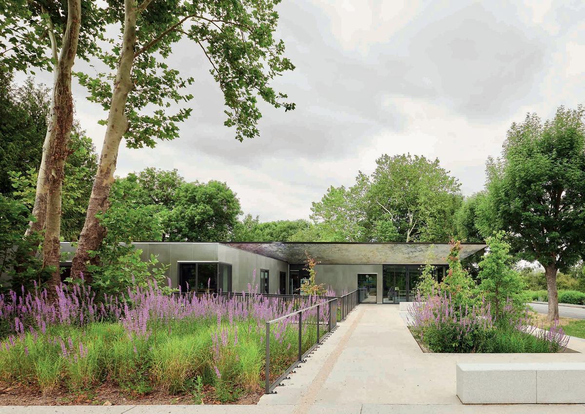
Launched today at the COP25 UN Climate Summit, the OpenSurface platform presents a new way to monitor and forecast land-use change. Capable of scaling up to cover the Earth’s entire surface, the open-source, not-for-profit platform employs sophisticated, new AI techniques and integrates multiple data sources to drive more effective climate action.
A pilot with the Chilean government and the IDB’s Natural Capital Lab, funded by IDB Lab and EIT Climate-KIC, OpenSurface uses authoritative land records in conjunction with satellite imagery and ground- sourced data to help prioritise resource allocation. The platform combines fourth-generation technologies such as artificial intelligence, secure ledgers, remote sensing, and the internet of things to automatically compare planned, authorised activities with how forests are actually being managed or depleted. It then intelligently alerts staff at CONAF (Corporación Nacional Forestal) whenever and wherever the two diverge.
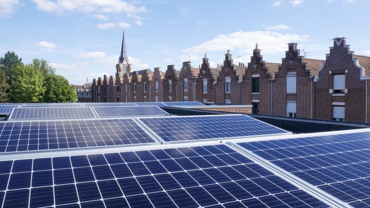
According to the special report by the Intergovernmental Panel on Climate Change (IPCC), emissions from agriculture, forestry, and land clearing make up around one quarter of the world’s greenhouse gas (GHG) emissions. Improvements in land management could not only offer drastic cuts in global emissions, but also enhance agricultural sustainability, improve food security, and safeguard biodiversity.
“OpenSurface stands for next-generation digital MRV in land management. Outcomes can be linked to alerts or payments – creating accurate, timely, and automated services for different stakeholders,” says Nick Beglinger, CEO of Cleantech21, the foundation that brought the OpenSurface team, winners of Hack4Climate at COP23 in Bonn, together.
“This can scale globally, making monitoring, reporting and verification (MRV) more effective and affordable than ever before. This allows for new levels of trust between governments, companies and projects internationally,” continues Patrick Bürgi, Co-founder of South Pole, a global climate solutions provider and the Executing Agency behind the multi-partner international initiative that gave rise to OpenSurface. “It can be a platform for exploring new ways to integrate diverse data sources, and new kinds of cooperation – the more data, the greater the possibilities.”
“This is an exciting project for CONAF, and indeed for Chile’s natural capital and climate commitments. It’s a great opportunity and we are looking forward to using this pioneering technology to improve the monitoring of forest activities,” says Jose Antonio Prado Donoso, Head of the Chilean government’s Climate Change and Environmental Services Unit. “The OpenSurface platform will be an important tool to reduce deforestation, and particularly forest degradation – the main problem affecting native forests in Chile. We hope, and would support and encourage, other governments to join us.”
“OpenSurface represents real innovation in MRV. It has potential to scale rapidly, and opens the opportunities for better governance, protection and eventual investments into land use and sustainability,” says Riyong Kim, Director, Decision Metrics and Finance at EIT Climate-KIC.
Funded by IDB Lab and EIT Climate-KIC, with support from ETH Zurich and initiated by Cleantech21, OpenSurface is a collaboration between an international team of developers and climate experts, including South Pole Carbon Asset Management, DS3 Lab and Scout Impact R&D. Interested parties are invited to get in touch at opensurface.io to collaborate or to become pilot partners.
The post OpenSurface land-use tracking platform launches at COP25 appeared first on Climate-KIC.
News published on Climate KIC
Consult the source