

New tool supporting sustainable crop management launched in Switzerland
A new web tool that will help the agricultural industry support sustainable crop management practices has been announced in Lausanne, Switzerland.
The two-year ‘GeoFootprint Project’, launched by sustainability consultancy Quantis and funded by EIT Climate-KIC, will deliver comprehensive location-based data via a publicly available web platform and will foster more effective measurement, monitoring and management of local sustainable agricultural practice.
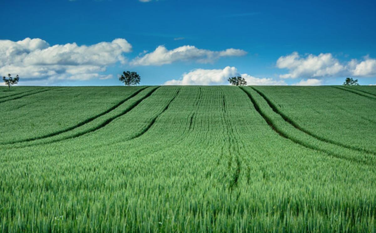
Life Cycle Assessment (LCA), the leading decision-making support tool for environmental management of agricultural commodities, has until now relied on data from average meteorological and ecological conditions at country scale. Practices can also be informed by local or national governmental policies, market trends and pressures. However, most agricultural practices are highly context-specific and largely determined by micro-spatial parameters such as soil properties, precipitation and slope.
By converging LCA datasets and spatial data from Geographic Information Systems (GIS), the tool provides a spatially-sensitive “Geo” footprint of major commodities around the world.
For many companies in the agrifood, cosmetic and apparel sectors, future growth depends on the continued availability and quality of crop production. With information on things like carbon, water and land use change, users should have a holistic understanding of farm-level impacts and be better positioned to replicate value added sustainability practices.
The GeoFootprint Project will drastically improve the value companies derive from the data they collect. Enhanced visibility of on-the-ground impacts will allow companies to accurately and efficiently manage their supply chains, track the effectiveness of sustainability initiatives, deploy clear actions and foster greater collaboration across the value chain, creating a stronger link between field-level changes and decisions at the strategic level.
The project will also democratise access to climate risk information about land use and agriculture in order to scale its impact. A significant portion of the data and the web platform’s overwriting function will be made public so everyone from multinationals to smallholders can engage in the sector’s decarbonisation.
Jürgen Reinhard, PhD, Senior Sustainability Consultant at Quantis Zürich said “The capability to explicitly consider the spatial context (or spatial data) in LCA calculations offers a radically more efficient and more accurate way to assess farm-level cultivation practices and their corresponding mitigation potential.”
The development phase currently underway will be followed by a pilot period, during which project partners will deploy the platform. To learn more about the GeoFootprint Project, how it will shape the future of impact accounting and agriculture, or how to participate, you can get in touch with Catherine Laurent-Polz, Sustainable Land Use Portfolio Manager at EIT Climate-KIC.
The post New tool supporting sustainable crop management launched in Switzerland appeared first on Climate-KIC.
News published on Climate KIC
Consult the source