

The H2020 project ExcEED and its geo-clustering tool: Mapping and improving the energy efficiency of buildings
Roberta D'Angiolella
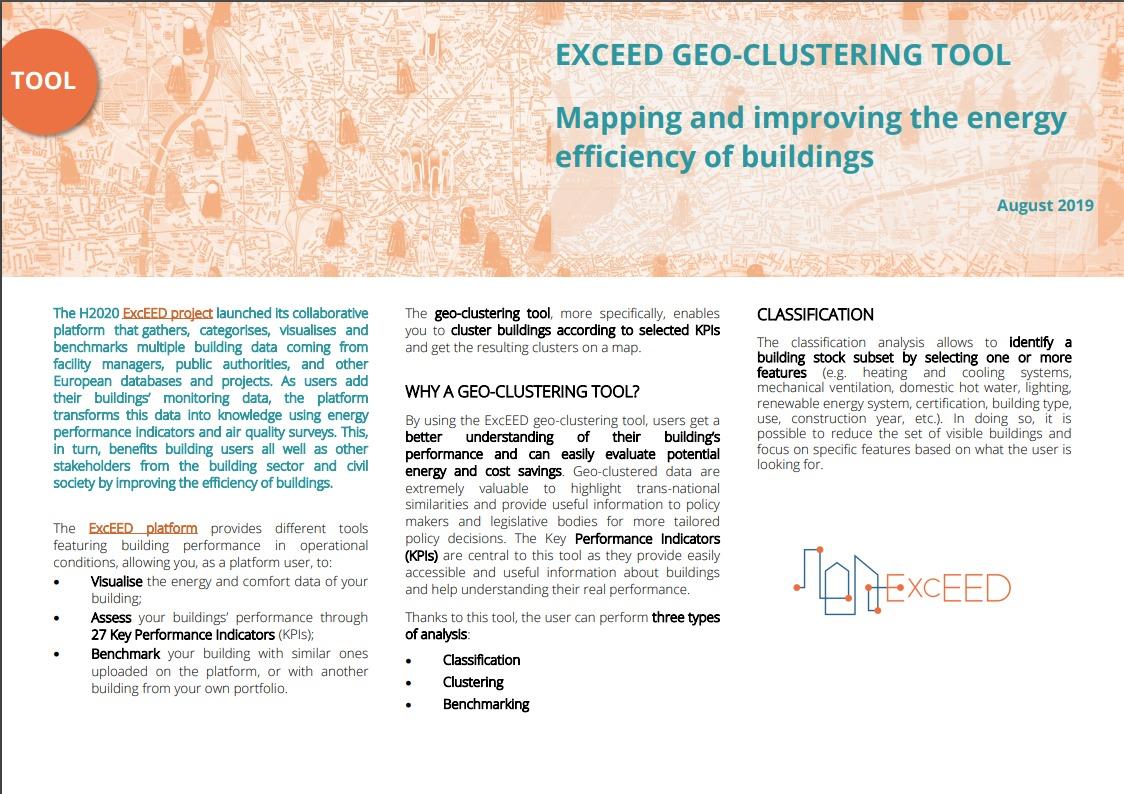
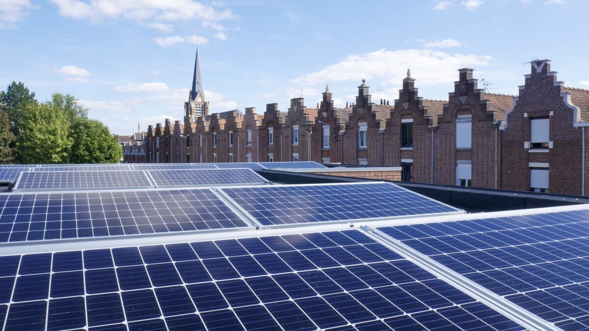
The EU-funded project ExcEED publishes a new factsheet on its geoclustering tool, one of the central tool of the project platform. The ExcEED platform provides different tools featuring building performance in operational conditions, allowing you, as a platform user, to visualise the energy and comfort data of your building; assess your buildings’ performance through 27 Key Performance Indicators (KPIs); benchmark your building with similar ones uploaded on the platform, or with another building from your own portfolio. The geo-clustering tool, more specifically, enables the user to cluster buildings according to selected KPIs and get the resulting clusters on a map.
By using the ExcEED geo-clustering tool, users get a better understanding of their building’s performance and can easily evaluate potential energy and cost savings. Geo-clustered data are extremely valuable to highlight trans-national similarities and provide useful information to policy makers and legislative bodies for more tailored policy decisions. The Key Performance Indicators (KPIs) are central to this tool as they provide easily accessible and useful information about buildings and help understanding their real performance.
These analyses are performed through the ExcEED platform protecting the security and privacy of your data. As such, the benchmarking and clustering tools use anonymised and aggregated data. Also, the visualisation of buildings on the map prevent other users to identify the precise location of other buildings.
If you want to contribute with your buildings data to the ExcEED platform, fill in the registration form here and start using it!