

A geospace odyssey
Laura Lindberg
There is a vast amount of data generated across the built and natural environments – data which has massive potential to have a positive impact on our cities and societies. To some extent this potential is already being realised, but improved data visualisation, integration and interoperability can further unlock opportunities to solve challenges that towns and cities face.
According to Ian McGuinness, Partner and Head of Geospatial at Knight Frank: "Mapping data, digital data, and geospatial data can be used to understand nearly every theme of human activity and land use in cities." Indeed, there are many current examples of data being used to this end. These include data about the energy performance of buildings, commercial floor space and estimates of rent.
Geospatial revolution
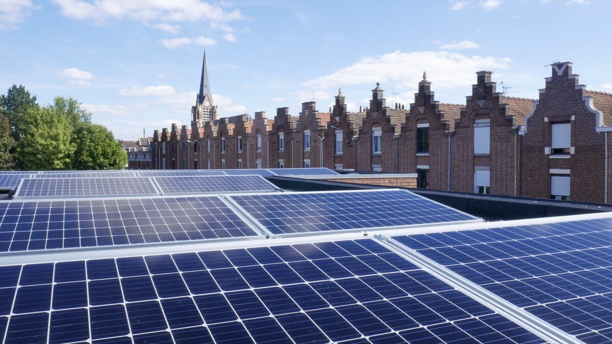
The value of geospatial data – data that has a geographic component to it – is now being realised across the built environment sector. James Kavanagh, Global Director of Land Standards at RICS, says: "Geospatial data has a massive role to play in understanding the wider economics of development." This is valid across the world, whether in emerging economies where new cities are being built and developed, or in a more advanced economies where efforts are being made to get the best out of ageing infrastructure and existing buildings.
It is not only the sustainability of our buildings and structures that can benefit from geospatial data, but also our natural environment. Sophie Stouki, Head of GIS at Costain, believes: "Geospatial mapping information is really helping us manage biodiversity a lot better. It helps us with our eco understanding and makes sure that our impact on the environment [when building] is kept to a minimum."
In fact, it is combining the challenges and outputs of our natural and built environments where the most impact can be made.
Kavanagh notes: "Biodiversity is just as important in an urban environment. Aspects of geospatial information can really help protect our open spaces. There are well-being aspects that are implicit within urban development. I think advances in data will lead to quite a change in development planning and understanding over the next couple of years. Geospatial allows modern, or normal economic activity to continue – oil, gas, aggregates, removal, dredging, ports and renewable energy for example – but also allows us to understand how that interacts with environmental policies."

Building sustainability and the natural environment can be huge beneficiaries of geospatial data
Data integration and interoperability
In the UK, the Geospatial Commission has been launched to unite all major government geospatial data holding agencies and bring together the existing data on areas including social geography, people movement, income generation, valuation, planning, politics, and the environment.
Uniting all of the available datasets is one of the biggest challenges facing the industry at present. According to Dr Duncan Smith, Lecturer in GIS and Visualisation at the Bartlett Centre for Advanced Spatial Analysis: "the overall geospatial challenge is data integration. When thinking about sustainability we have to talk about bringing lots of datasets together including built environment, behaviours and real estate."
Bringing datasets together requires an understanding of the different formats in which data is gathered across the industry. Interoperability is key in allowing the data we collect to be collated, compared, and translated into worthwhile outputs for developers and occupiers.
3D data – geo-referenced data that can be combined with other data and therefore referenced together – is incredibly useful in this respect, but we are still lacking a single, agreed, accessible industry standard which clarifies how to classify and compare this.
It is no longer about just collecting data, or even visualising it; the challenge now is to identify the valuable insights and analytics we can get from data, and then, as Sophie Stouki says, "shape a strategy and end product by ensuring that the intended audience, whether it's our partners, or members of the public can actually make good use of what we're making available."
There are already some existing examples of interoperability across geospatial datasets succeeding in shaping strategy and end product. Marine and land-based information, for example, can be compared in a much more intricate way than was possible five to 10 years ago, and therefore used to inform decisions about the decommissioning of offshore windfarms and the environment which remains.
Ultimately, what the integration and interoperability of data will allow is the creation and maintenance of better buildings and spaces which contribute to a planet which is sustainable across economic, environmental and social strands and in line with the UN's sustainable development goals.
The well-being of citizens is at the heart of this. Data used to its full effect will facilitate the monitoring of assets, allowing decision-makers to become more proactive in maintenance, rather than reactive. Operational requirements can be set, assessed, and monitored, which then allows choices to be made based on the needs of the population.
"Mapping data, digital data, and geospatial data can be used to understand nearly every theme of human activity and land use in cities."
Ian McGuinness
Partner and Head of Geospatial, Knight Frank
Democratisation of data
As we continue to develop technology and the capability of data, and the data captured becomes more granular in nature, the ethics behind the collection and sharing of data must be at the forefront of any developments. This means considering laws and regulations, and planning ahead so that appropriate action can be taken to safeguard individuals, businesses and properties if needed.
Central to this is an understanding of the difference between and the limitations to open data and free data. Open data – data made available by Government organisations, for example – is researched and verified; free data can be pulled from anywhere and produced by anyone, and therefore often needs further verification.
Crowdsourced information is an example of free data and can be useful – especially in developing markets where alternative sources of data are often difficult to access. Caution must still be advised, though; official or verified sources should be cited where possible, in order to avoid potential liability issues.
If these issues can be understood and appropriate regulation and standards agreed upon, integrated and interoperable data has the potential to drive the way we make decisions, care for our citizens, and preserve our planet.
Listen to the webinar
Data visualisation: Mapping cities for better sustainability
How are data visualisation tools helping planners to map the character of cities?
Article by Steph Fairbairn, Edtor, RICS
First published on The World Built Environment Forum